Kuhmo region's hiking trails x 12
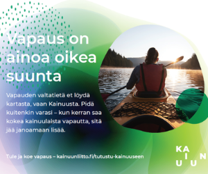
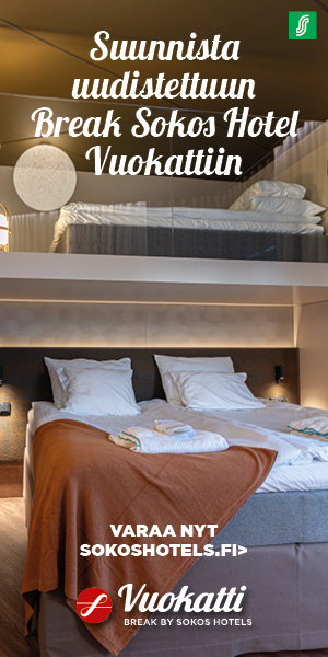
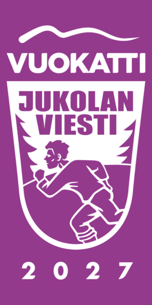
Would you be interested in going hiking in rest day Kainuu Orienteering Week?
Kuhmo's hiking trails and their introductions have been collected in the this article. The visitkuhmo.fi, luontoon.fi and outdooractive.fi websites have been used as a source. You can get to know the routes in more detail via the links at the end of the article.
Elimyssalo
- Route length: 1.5 km, 2.5 km and 13 km
- Distance from the city centre of Kuhmo: 56 km
- Description: The Elimyssalo nature reserve represents Kainuu's forest nature at its best. It is a mosaic-like ensemble of many types of marshes, scaly hornbeams and lush stream banks, as well as small lakes and ponds. Elimyssalo has several route options of different lengths. There are a total of 24 km of hiking trails in the area. Fairly easy-to-navigate, clearly marked routes lead the hiker through the varying terrain of swamps and marshes. There are two deserted wilderness areas along the routes, Levävaara and Latvavaara. The swamp sections of the paths have been duckboarded.
Iso-Palonen - Maariansärkät
- Route length: 14.5 km
- Distance from the city centre of Kuhmo: about 43 km
- Description: In Särkki's lap, the forest deer has found a sheltered feeding ground and nesting place. In the same environments, hikers can also find a place where they can break away from the everyday rhythm for a while, let their thoughts rest and enjoy nature's gifts. The ridge formation running through the area has been an important migration route and grazing area for forest deer.
Jauhovaara
- Route length: 1.5 km ja 3.7 km
- Navigation address: Välivaarantie 164, Kuhmo
- Distance from the city centre of Kuhmo: 33 km
- Description: A total of 5 km long trail, which consists of a 1.5 km long nature trail marked in red in the highest part of the hill and a 3.5 km long "lower trail" marked in blue. The short upper path has 3.4 hectares of traditional farmland, a former ranger's cabin, a tree species park, an arboretum and a wonderful viewing platform. The longer lower trail has swampy landscapes, tall trees, a flour pond, a shelter and a place to make a fire. Wild trees and the history of the area are presented along the route. Wartime defense structures can also be seen on the route.
Jonkerinsalon luonnonsuojelualue (nature reserve)
- Distance from the city centre of Kuhmo: 47 km
- Description: The ruggedly beautiful nature of Jonkerinsalo, and especially its nearly kilometer-long canyon valley, will not leave a single nature enthusiast cold. When you let your imagination run wild, you can meet goblins, imps and fairies at Jonkerinsalo. Everyone gets to experience the atmosphere of wilderness in their own way.
Small ponds, streams and rivers shape the forested danger landscapes of the nature reserve. You can get to know them on the so-called “saapasreitti” road that passes through the area. Jonkerinsalo is also suitable for kayaking, as the Jongunjoki kayaking route runs along the eastern part of the area.
Juortanansalo-Lapinsuo
- Route length: Merkattuja reittejä 3 km
- Distance from the city centre of Kuhmo: about 65 km
- Description: The Juortanansalo – Lapinsuo swamp conservation area is a wilderness destination where you can find real wilderness lands. There are 3 kilometers of marked routes. Moving in other areas requires orienteering skills and tools. In the area, you can find different types of marsh ruffs and ravens. Most of the forests are older than the dominant trees.
Jämäsvaara
- Route length: 14.7 km
- Navigation address: Jämäsjärventie 750, 88900 Kuhmo
- Distance from the city centre of Kuhmo: about 20 km
- Description: Old forests, rocky slopes, small bodies of water and swamps attract Jämäsvaara. The eye-catching landscapes of Jämäsvaara are easy to reach, as the area is only about 20 km from the centre of Kuhmo. Jämäsvaara's routes are the so-called boot routes and therefore you should equip yourself with waterproof footwear for the trip.
- Notice! It is located in the Kainuu Orienteering Week 2023 competition area, so the routes are part of the Kainuu O Week’s embargoed area.
Kilpelänkangas
- Route length: 3.5 km
- Navigation address: Saunajärventie 2566, Kuhmo
- Distance from the city centre of Kuhmo: 51 km
- Description: Kilpelänkangas's approximately 3.5 kilometer long route runs along the banks of Kuusijoki and pine forests. The route is easy to navigate and suitable for beginner hikers. The route is not accessible. Traces of the fierce battles of the Winter War and large forest works, e.g. in Kuusijoki, are still visible in the terrain. You can also see trees mutilated by grenades and the remains of battle trenches, which nature has made whole.
Lauttavaara
- Route length: 2.5 km
- Navigation address: Lentuankoskentie 17, 88900 Kuhmo
- Distance from the city centre of Kuhmo: about 10 km
- Description: Lauttavaara nature school forest is Metsähallitus' showcase for natural diversity and modern forest management that emphasizes environmental values.
The Lauttavaara nature school forest is designed especially for nature guidance and teaching, but is also suitable for everyone to hike. The area offers nature's classroom, with plenty of space and things to do in all seasons.
Lentuan luonnonsuojelualue (nature reserve)
- Route length: järvimelontareitti 19.5 km
- Distance from the city centre of Kuhmo: about 15 km
- Description: In the Lentua wilderness nature reserve you can find Kuhmo's finest natural attractions, Lentuankoski, numerous interesting islands and long sandy beaches. You can choose an island that's the right size for you, a distance away, where you can find a nice fireplace, a log cabin, or even a deserted cabin and sauna. The Blue Thoughts of Lentua has inspired numerous artists in Finland. It appears in the works of both Veikko Huovinen and Akseli Gallen-Kallela. The Lentua nature reserve is a great kayaking destination.
Sininen polku (blue trail)
- Route length: 7 km ja 16 km
- Navigation address: Kekkostie 2009, Kuhmo
- Distance from the city centre of Kuhmo: 24 km
- Description: The Sininen Polku (blue trail) Recreational Forest got its name from the path that runs through the area. You can choose either 7 or 16 km routes for your hike. The area lives up to its name: there are blue lakes and ponds on both sides of the path that runs through the picturesque ridge landscape. The easy-to-navigate routes meander mainly through dry pine forests, but sometimes also pop up in mixed spruce forests and wetlands.
The blue path is an old path between villages, so when you walk along the paths, you can think about what it was like to visit the neighborhood before the time of cars. Nowadays, the path is easily reached. That's why it's perfect for example as an excursion destination for school groups and as a day trip destination for the whole family.
Syväjärvi
- Route length: 4.6 km (consists of the routes 1.6 km and 3.2 km)
- Navigation address: Pohjoispuolentie 1940, Kuhmo
- Distance from the city centre of Kuhmo: 20 km
- Description: The shore path of Syväjärvi, which is about 5 km long in total, consists of the 1.6 km route around the Niskalammi pond and a 3.2 km longer loop. In terms of scenery, the diverse route goes around the water on the shores, in swamp and ridge landscapes. The easy-to-navigate terrain is suitable for beginner hikers, families with children and the elderly. On the shores of Lake Syväjärvi there are several well-maintained fireplaces, as well as one shed and a rental cabin on the shore of Lake Niskalampi.
Teerisuo-Lososuo
- Route length: 11.5 km
- Navigation address: Valtimontie 2505, 88900 Kuhmo
- Distance from the city centre of Kuhmo: 32 km
- Description: The Teerisuo - Lososuo marsh conservation area only 30 km from Kuhmo invites you to feel the wilderness of Kainuu, its smells, sounds, colors and sensations.
The forests and swamps of Teerisuo - Lososuo forms a scenically significant wilderness area. The area is located on the border of the distribution areas of southern and northern species, so the flora and fauna of the area are diverse.
The 11.5 km long hiking trail that goes around the area, advances on flat terrain and is easy to navigate. It takes you alternately to swamps and alternately to natural primary forest islands. In the spring, nature also wakes up in the marsh and you can feel the heat of the summer concretely. In the fall, the beautiful colors of the marsh glow in different scales of green, red and yellow. In the winter the steady snow tempts you to go on a longer ski trip.
Find out more about the routes on the following websites:
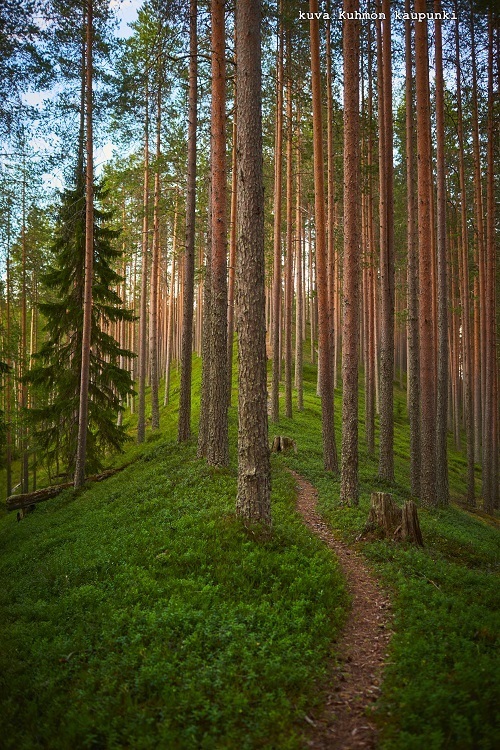
Photos: Kuhmon kaupunki